SIS WebMap is a sophisticated web mapping application that provides advanced capabilities for presenting and interrogating spatial data, accessed through a familiar and responsive interface.
SIS WebMap can directly consume and present spatial data in over 300 supported GIS, CAD, graphic and database formats without translation.
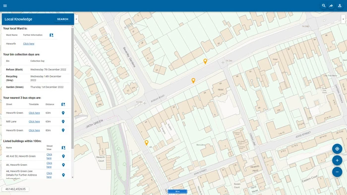
SIS WebMap provides a range of map window controls for watermark, copyright, key map, coordinate tracking, scale bar, zoom scale select, bookmarks and overlay controls.
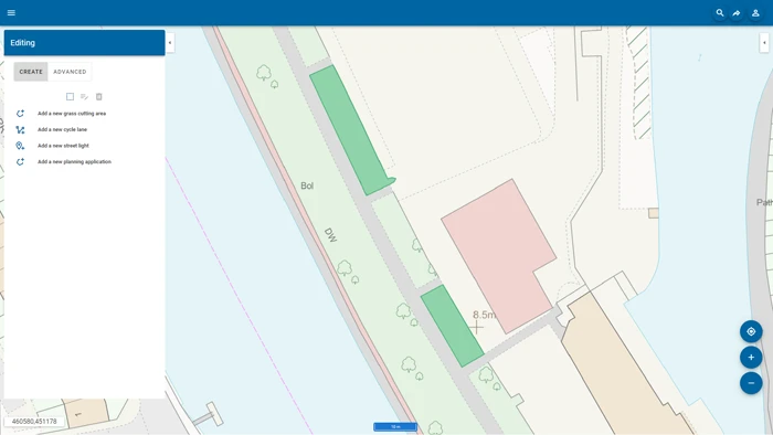
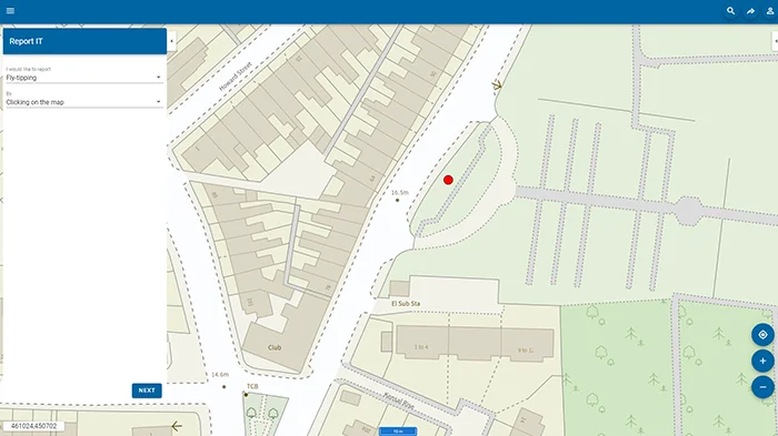
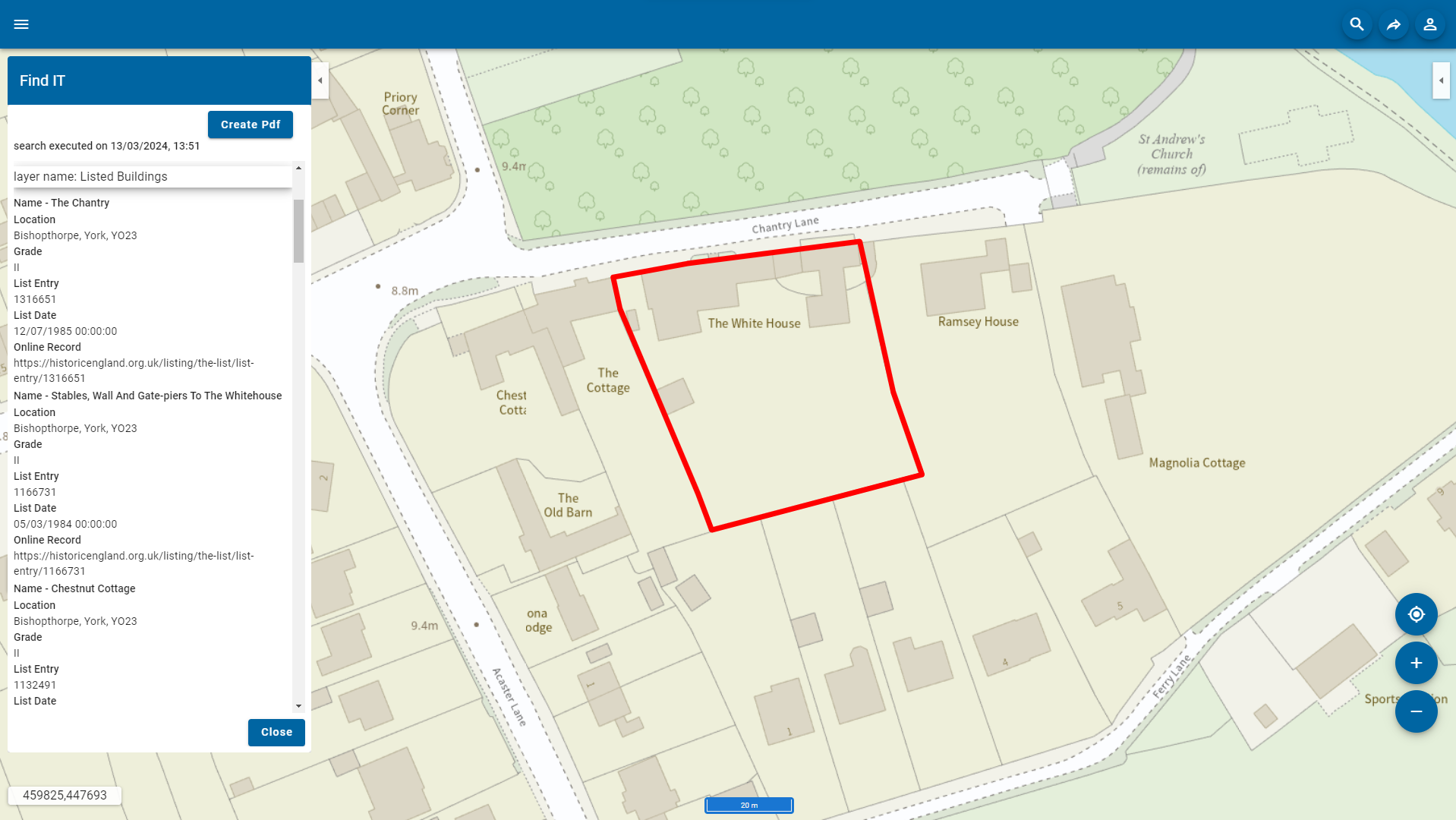
SIS WebMap provides easy navigation with interactive mouse navigation, zooming, line measurement, area measurement and information ‘drill down’. Users can edit and create features and their attributes within a spatial database. Overlay properties can be applied to dynamically update changes and additions to the data. Web mapping in SIS WebMap can include a number of map layers or overlays.
SIS WebMap reads open data sources such as OGC WMS, WMTS, WFS, and tile cache services, together with databases and proprietary data formats managed in a SIS project.
SIS WebMap has been designed for users to access geospatial information from mobile devices. When accessed from a mobile device, SIS WebMap application will present a simplified user interface. This features finger-tap data interrogation and navigation, a Quick Search facility, and geolocation detection.
SIS WebMap allows online editing and creation of features and their attributes, stored in a spatial database. Overlay properties can be applied to dynamically update changes and additions to the data.