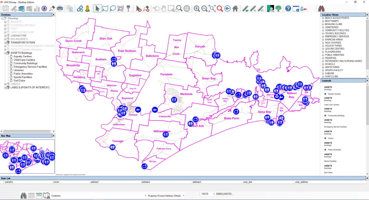
SISmap is a secure web-based application that makes your geographic information easy to access and interrogate.
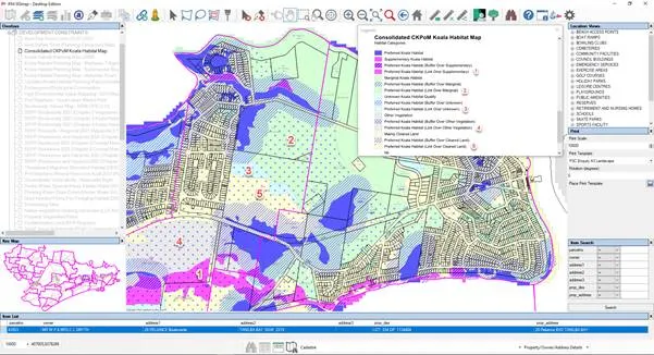
SISfmap is able to display your geographic information with overlays, data elements, features, layers and theme-based highlighting.
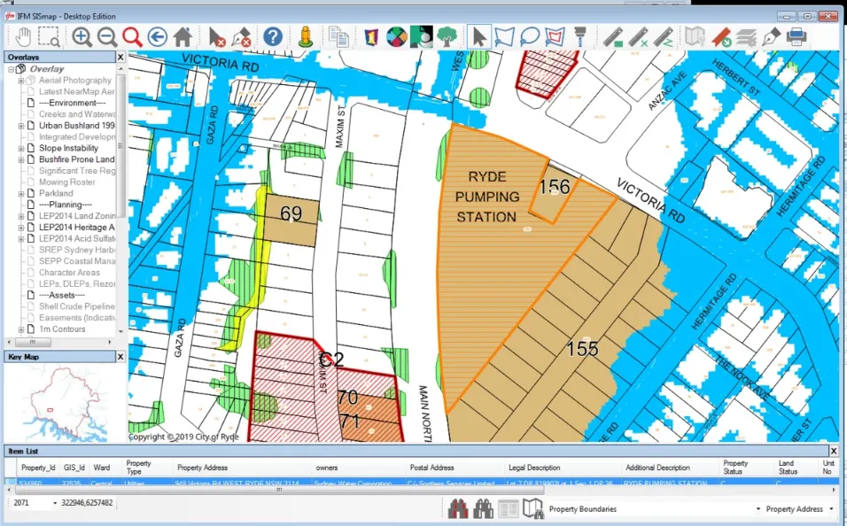
SISmap data is maintained using the Cadcorp SIS Desktop application. Map overlays may be of any type supported by Cadcorp, including aerial photography, topology, Shape files and many other proprietary formats.
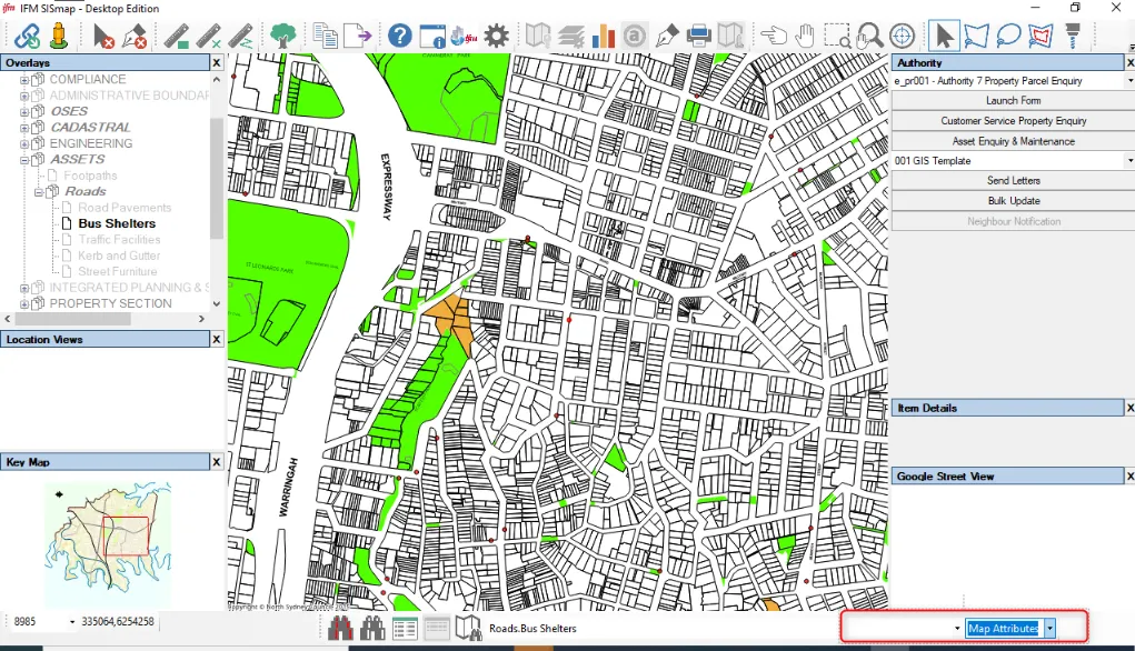
SISmap includes bi-directional data integration with the Civica Authority, Technology One and Infor Pathway local government information systems; with Micro Focus Content Manager (formerly TRIM) and Technology One ECM (formerly DataWorks) document management systems; the Assetic myData asset management system; the Merit Customer Relationship Management system.